Met Office Sudden Stratospheric Warming: Could The UK Face A Colder Winter?
 Published By
Henry
Published:
Updated:
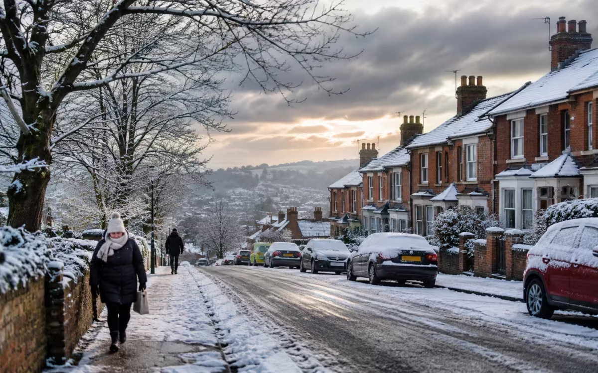
Table of Contents
The Met Office has confirmed an unusually early sudden stratospheric warming (SSW) event above the Arctic, raising questions about whether Britain could experience colder temperatures, widespread frost and possible snowfall during the coming winter.
The atmospheric disturbance has disrupted the polar vortex approximately 30 kilometres above the Earth’s surface.
Although the event could influence weather patterns across the Northern Hemisphere, forecasters have emphasised that a sudden stratospheric warming does not automatically mean a severe UK winter or widespread snow.
In its latest assessment, published on 18 November, the Met Office explained that the event occurred much earlier than meteorologists would normally expect. Its effects could become apparent over the coming weeks, depending on how conditions develop closer to the ground.
What Has Happened to the Polar Vortex Above the Arctic?
Sudden stratospheric warming occurs when temperatures rise rapidly in the stratosphere, a layer of the atmosphere situated well above the weather systems experienced at ground level.
During autumn and winter, powerful westerly winds circulate around the North Pole, creating a system known as the stratospheric polar vortex.
These winds help contain extremely cold air over the Arctic. However, atmospheric disturbances can weaken the circulation, displace the vortex or, in more extreme circumstances, split it apart.
When this happens, temperatures in the stratosphere can increase dramatically over a relatively short period.
The Met Office explains that the warming can sometimes reach approximately 50°C over several days, although this refers to temperature changes high above the Arctic rather than conditions experienced at the surface.
The latest event is particularly notable because of its timing and strength.
Towards the end of October, powerful atmospheric waves began squeezing and weakening the polar vortex. Further disturbances during November pushed the circulation away from its usual position above the North Pole.
According to the Met Office, analysis of historical atmospheric data indicates that the combined sequence of disturbances was exceptionally strong for this time of year.
The unusual timing makes the event scientifically significant, but it also creates uncertainty about how the atmosphere will respond.
The polar vortex is already showing signs of recovery, with westerly winds beginning to strengthen again.
Nevertheless, meteorologists will continue monitoring the system because its behaviour could influence winter weather patterns over Britain and other parts of Europe.
What Is the Met Office Forecast Following the Sudden Stratospheric Warming?
The Met Office’s immediate forecast points towards cold conditions across parts of Britain, although these are not considered a direct consequence of the recent stratospheric warming.
Its 18 November update explained that changes in the stratosphere generally take around two to six weeks to influence weather closer to the Earth’s surface, assuming the atmospheric effects develop sufficiently.
For the immediate period, colder Arctic air has already been spreading southwards, bringing frost, chilly daytime temperatures and occasional wintry showers.
Friday night into Saturday could be particularly cold, with temperatures potentially falling to around -8°C or -9°C in some locations, especially where clear skies allow heat to escape rapidly.
Northern Britain and parts of Scotland are particularly exposed to severe overnight frost.
However, the outlook becomes increasingly complicated as Atlantic weather systems approach from the west.
High pressure developing towards Scandinavia could prevent milder Atlantic air from spreading across the country, potentially maintaining colder conditions in some regions.
This interaction between competing weather systems makes predictions beyond the next several days less certain.
The Met Office’s 19 November forecast indicated that a shift towards easterly winds later in November had a probability of approximately 30% to 50% in current modelling.
Some scenarios suggest another colder period around 24–25 November, but these remain possibilities rather than confirmed forecasts.
Earlier concerns about falling temperatures were also addressed in the UK cold snap November forecast, which distinguished potential colder conditions from predictions of a prolonged nationwide freeze.
The important distinction is that the current cold spell and the longer-term influence of stratospheric warming are separate developments, even though both could affect winter conditions.
Could Sudden Stratospheric Warming Bring Snow to London and the UK?
The possibility of snow is one of the biggest questions surrounding the Met Office sudden stratospheric warming announcement.
When the polar vortex weakens, it can influence the jet stream, the powerful current of air responsible for steering weather systems across the North Atlantic.
A disrupted jet stream may become weaker or develop larger bends, allowing cold Arctic or continental air to move towards Britain.
In some circumstances, high pressure becomes established over Greenland or Scandinavia, blocking the usual flow of relatively mild Atlantic air.
This can encourage colder easterly or northerly winds, increasing the potential for frost, ice and wintry showers.
Similar atmospheric disturbances have previously contributed to significant cold-weather episodes, including the Beast from the East in 2018.
However, forecasters caution against assuming that every sudden stratospheric warming will produce comparable conditions.
Snowfall depends on several additional factors, including atmospheric moisture, temperature profiles, wind direction and the location of developing weather systems.
For London, the implications remain uncertain.
The capital generally experiences milder winter temperatures than many northern and upland locations, meaning that marginal weather systems can bring rain rather than snow.
Nevertheless, prolonged easterly winds could increase the possibility of colder conditions across London and southeast England.
Even without snowfall, frost and freezing temperatures can cause difficulties for commuters, particularly on untreated roads, pavements and railway infrastructure.
Reduced visibility is another concern during settled winter conditions. Previous Met Office fog warnings affecting UK travel demonstrated how atmospheric conditions can disrupt journeys without significant snowfall.
The Met Office has not confirmed that London will experience a major snow event because of the stratospheric warming.
There is currently no reliable basis for predicting widespread snowfall across the capital on a particular date solely from this atmospheric event.
What Could the Warming Mean for the Rest of Winter?
The sudden stratospheric warming comes as meteorologists assess several large-scale influences on Britain’s winter weather.
One important factor is the exceptionally strong El Niño event developing in the tropical Pacific Ocean.
El Niño involves changes in sea temperatures and atmospheric circulation that can influence weather patterns thousands of miles away.
Historically, strong El Niño events have sometimes increased the likelihood of wetter, milder conditions during early winter, followed by colder and drier weather later in the season.
However, those relationships are statistical rather than guaranteed.
The Met Office’s 19 November seasonal assessment highlighted an increased likelihood of a negative phase of the North Atlantic Oscillation (NAO), a pressure pattern that can reduce the influence of mild Atlantic winds.
Current modelling suggested a probability of at least 70% for a negative NAO during each of the three meteorological winter months.
This does not mean there is a 70% chance of snowfall. Instead, it indicates that atmospheric patterns associated with colder and drier conditions may become more likely.
Met Office scientific lead Jeff Knight explained that the latest modelling favours an increased possibility of below-average temperatures and reduced rainfall, while emphasising that the outcome remains uncertain.
There are also wider implications beyond snow and cold weather.
University of Reading meteorologist Professor Andrew Charlton-Perez has warned that prolonged dry conditions could affect reservoir recovery in areas already experiencing water shortages.
Meanwhile, colder periods may place additional pressure on household heating budgets, making existing discussions about winter energy bill support particularly relevant.
For London households, sensible preparations include checking heating systems, following official weather warnings and allowing extra time for journeys during freezing conditions.
Motorists should remain alert to icy roads, while passengers using rail services and airports should monitor updates during periods of frost, fog or snowfall.
Forecasters will also watch whether the polar vortex experiences further disruption during December. Some longer-range models indicate another possible weakening, although confidence remains low.
The Met Office continues to stress that long-range forecasts describe probabilities, not guaranteed daily weather conditions.
For now, the unusually early sudden stratospheric warming has increased scientific interest in the coming winter and raised the possibility of colder weather patterns.
However, whether it produces prolonged freezing temperatures, substantial snowfall or relatively little impact across Britain will depend on developments throughout the atmosphere.
The clearest message for Londoners is to remain prepared for changing winter conditions without treating dramatic predictions of an approaching nationwide freeze as established fact.
“An unusually early sudden stratospheric warming could increase the chances of colder weather across Britain, but it does not guarantee widespread snowfall or another Beast from the East.”
— Henry, Londoner Editorial
About the Journalist
Henry is the editorial head and lead author at Londoner. He oversees the publication’s editorial direction, article quality, source verification and corrections process. He also reviews major stories before publication to ensure they meet Londoner’s standards for accuracy, fairness and transparency.